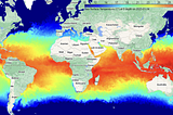
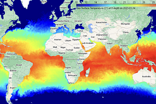
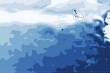
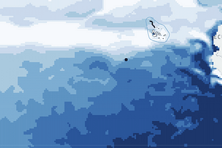
PinnedPublished inTDS ArchiveMonitoring Sea Surface Temperature at the global level with GEEHow to create a Streamlit app for ocean monitoring with PythonMar 8, 2023Mar 8, 2023
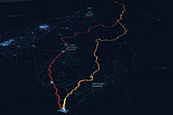
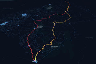
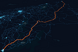
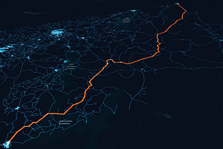
PinnedPublished inTDS ArchiveDijkstra’s algorithm weighted by travel time in OSM networksFinding the fastest and shortest path with the OSMNX 1.6Oct 10, 2023Oct 10, 2023
PinnedPublished inTDS ArchiveShortest Path (Dijkstra’s) algorithm step-by-step Python guideAn update using OSMNX 1.6 and a long-distance pathOct 4, 20232Oct 4, 20232
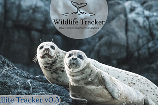
PinnedPublished inGIS4 Wildlife“Wildlife Tracker” v0.4: technical and methodological overviewSpatio-temporal annotation with ocean biogeochemistry variablesOct 12, 20221Oct 12, 20221
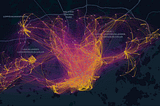
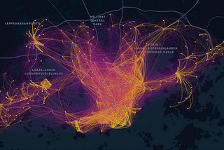
PinnedPublished inTDS ArchiveVisualization of Bike Sharing System movements in Helsinki with an interactive flow-mapInteractive flow-map in Leaflet based on OD-matrix of Bike movements in HelsinkiJul 18, 2021Jul 18, 2021
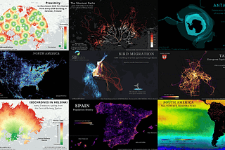
Published inTDS ArchiveMy 30-Day Map Challenge 2023An overview of selected map topics and algorithmsJun 6, 2024Jun 6, 2024
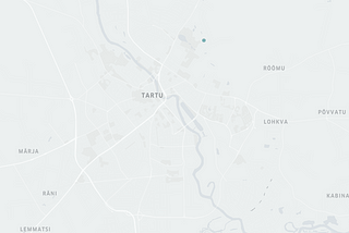
Published inTDS ArchiveBike-sharing system movements to the Metallica concert in Tartu, EstoniaGPS tracking visualization with Movingpandas and KeplerGl — TutorialJan 4, 2023Jan 4, 2023
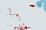
Published inTDS ArchiveUnveiling fishing activity risk to marine megafauna with geospatial technologiesWhale sharks endangered by Chinese fishing vessels — Galapagos IslandsOct 1, 20221Oct 1, 20221
Published inGIS4 WildlifeEarth Observation and Biologging Data for Marine ConservationWildlife Tracker v0.3: a real-time geo technology toolAug 1, 2022Aug 1, 2022
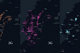
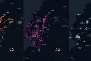
Published inTDS ArchiveMobile Network Operators' Coverage in EcuadorGeovisualization of Cellular Antenna’s development of 2G, 3G, and 4GJun 3, 2022Jun 3, 2022